Collections

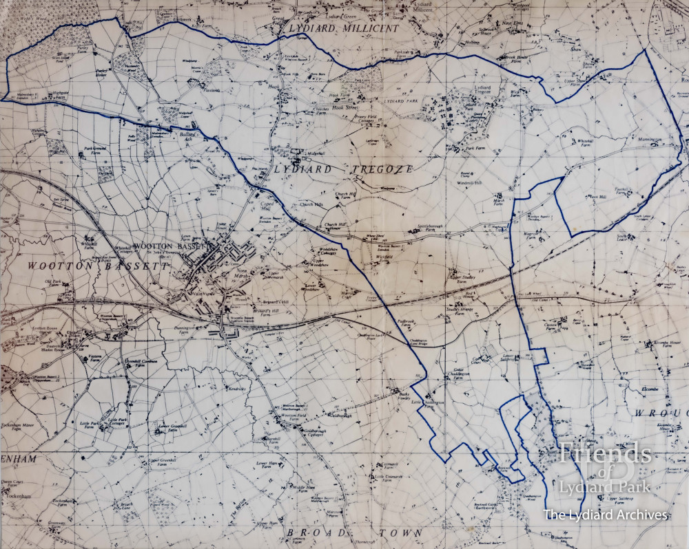
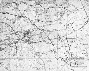
Map of Lydiard Tregoze, early 20th Century

The boundary of Lydiard Tregoze is marked in blue.

Year
1920-1940
Type
Map
Location
Private Collection
Copyright
Friends of Lydiard Park
Last updated on
Saturday 26th August 2023
Loading...
LYDIARD TREGOZE AREA MAP ORIGINAL-.jpg
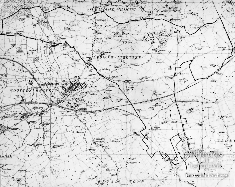
LYDIARD TREGOZE AREA MAP B & W-2.jpg
LYDIARD TREGOZE AREA MAP ORIGINAL-.jpg
LYDIARD TREGOZE AREA MAP B & W-2.jpg
Related Items

Image
Keep Up To Date With The Lydiard Archives

Enjoying exploring the archives? Register for free to keep up to date with new additions and get access to extra features, like My Collection, which lets you save your favourite archives in one place. It's free to register, with no obligation.

Already have an account? Login